The Brazos River Ranch
Palo Pinto, TX

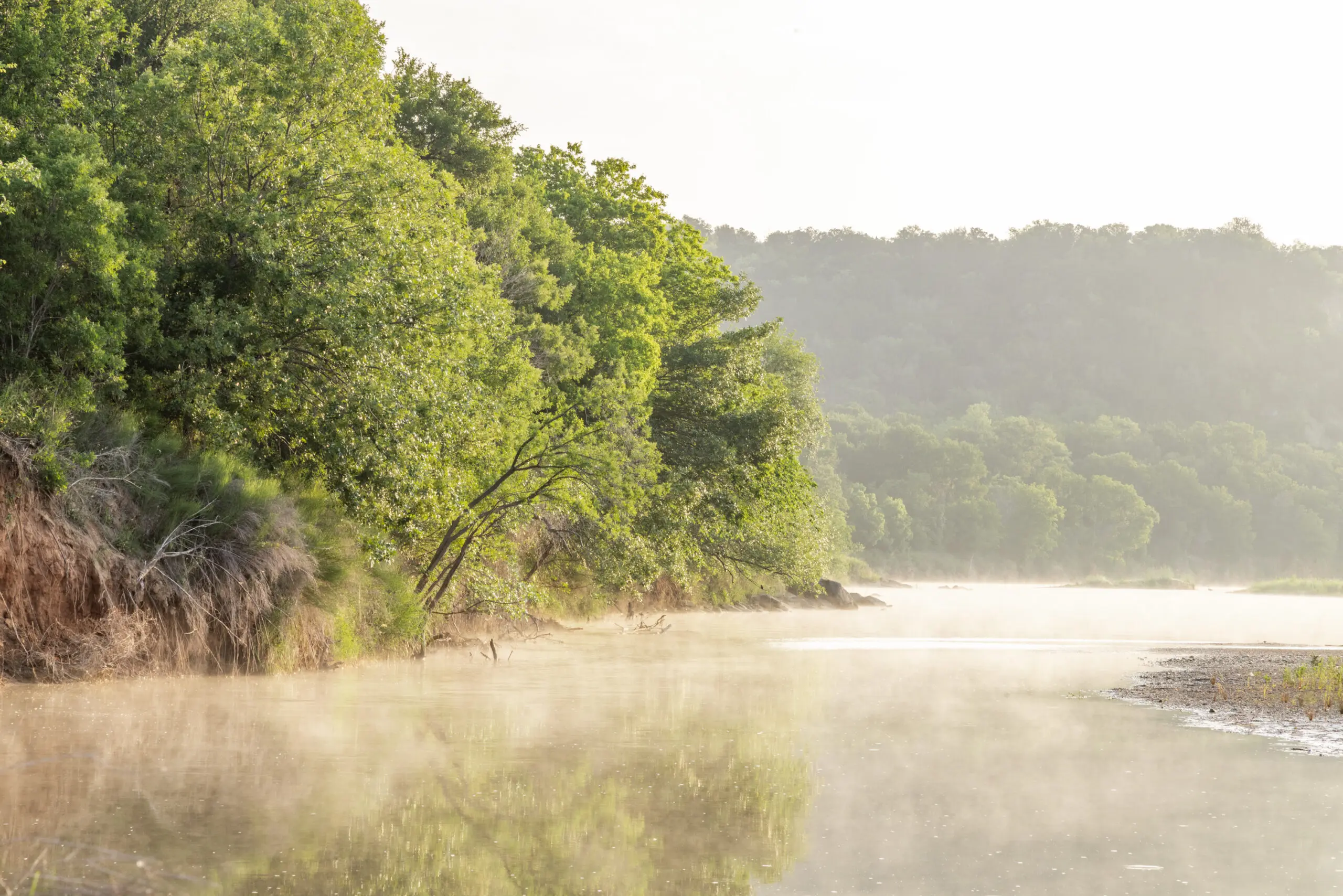
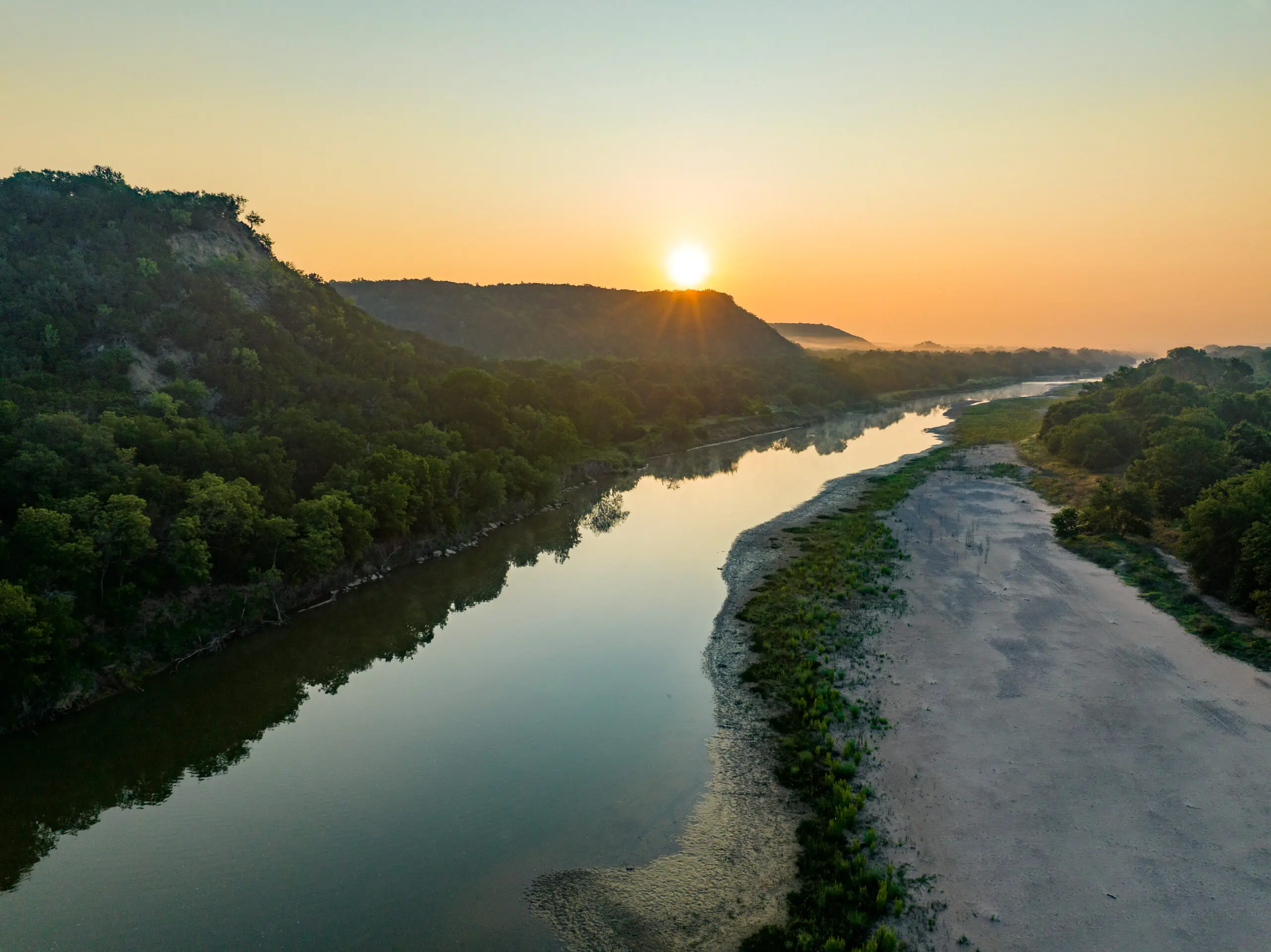
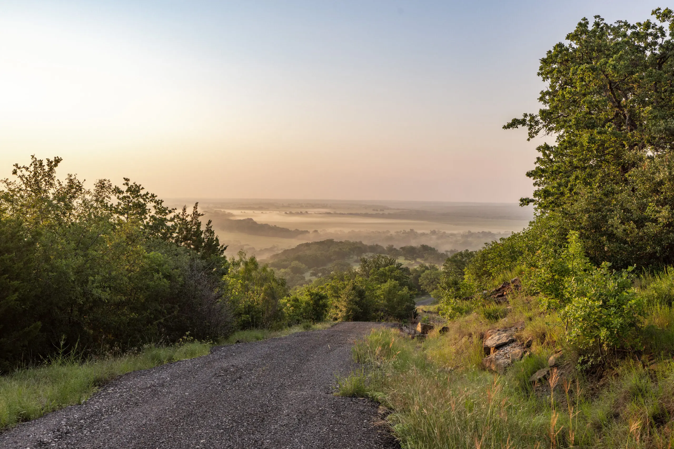
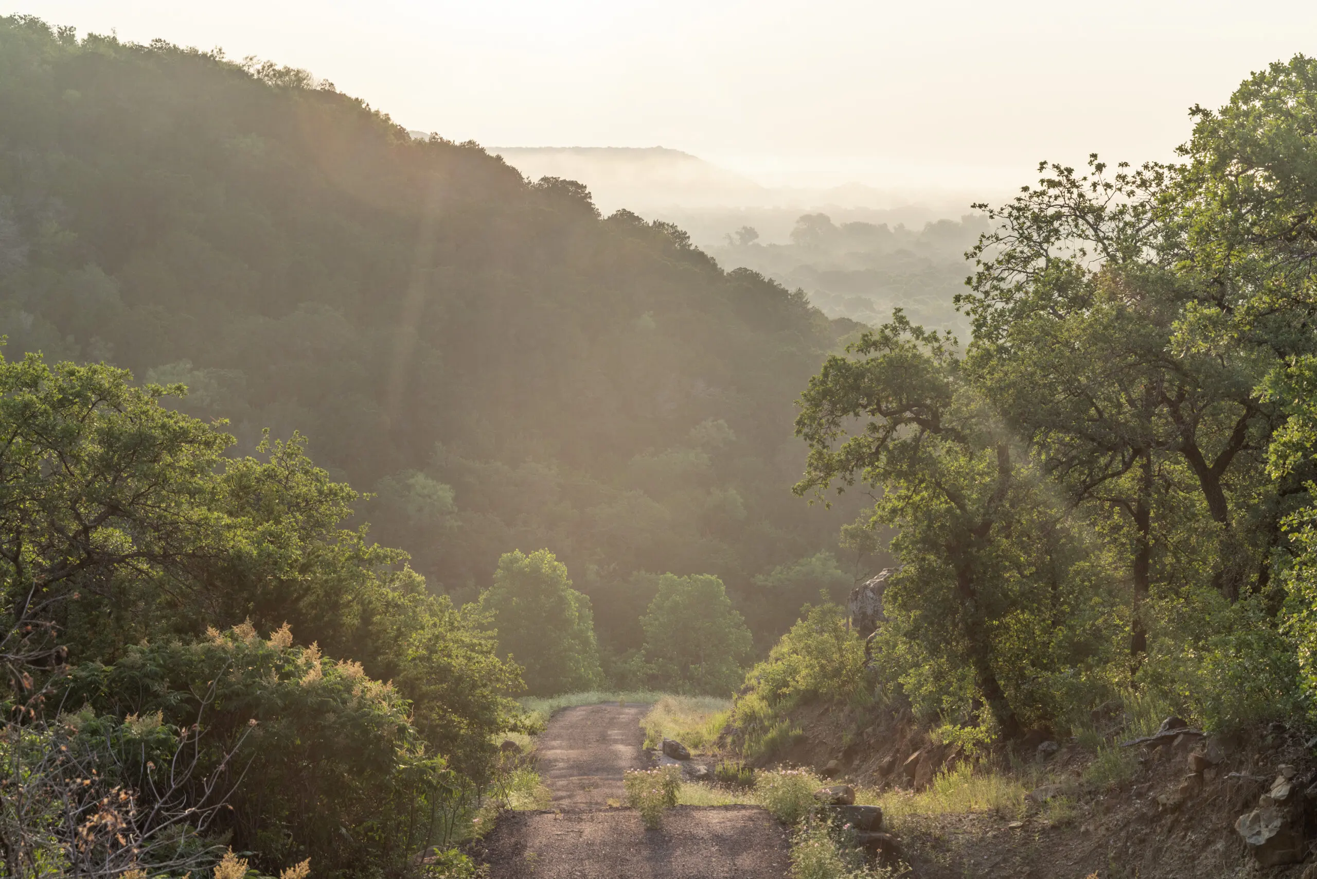
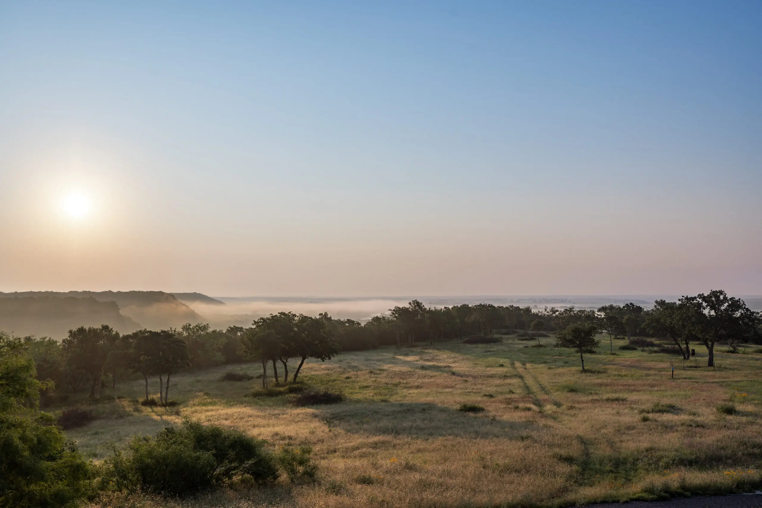
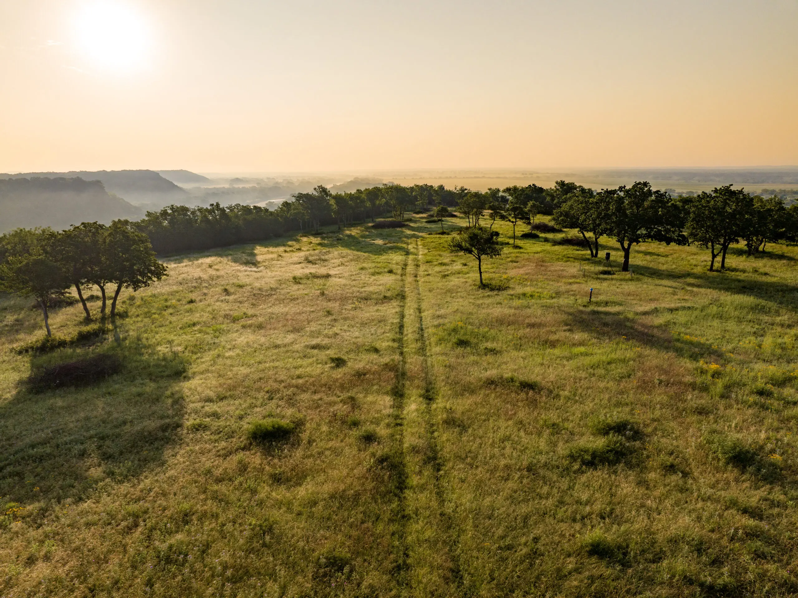
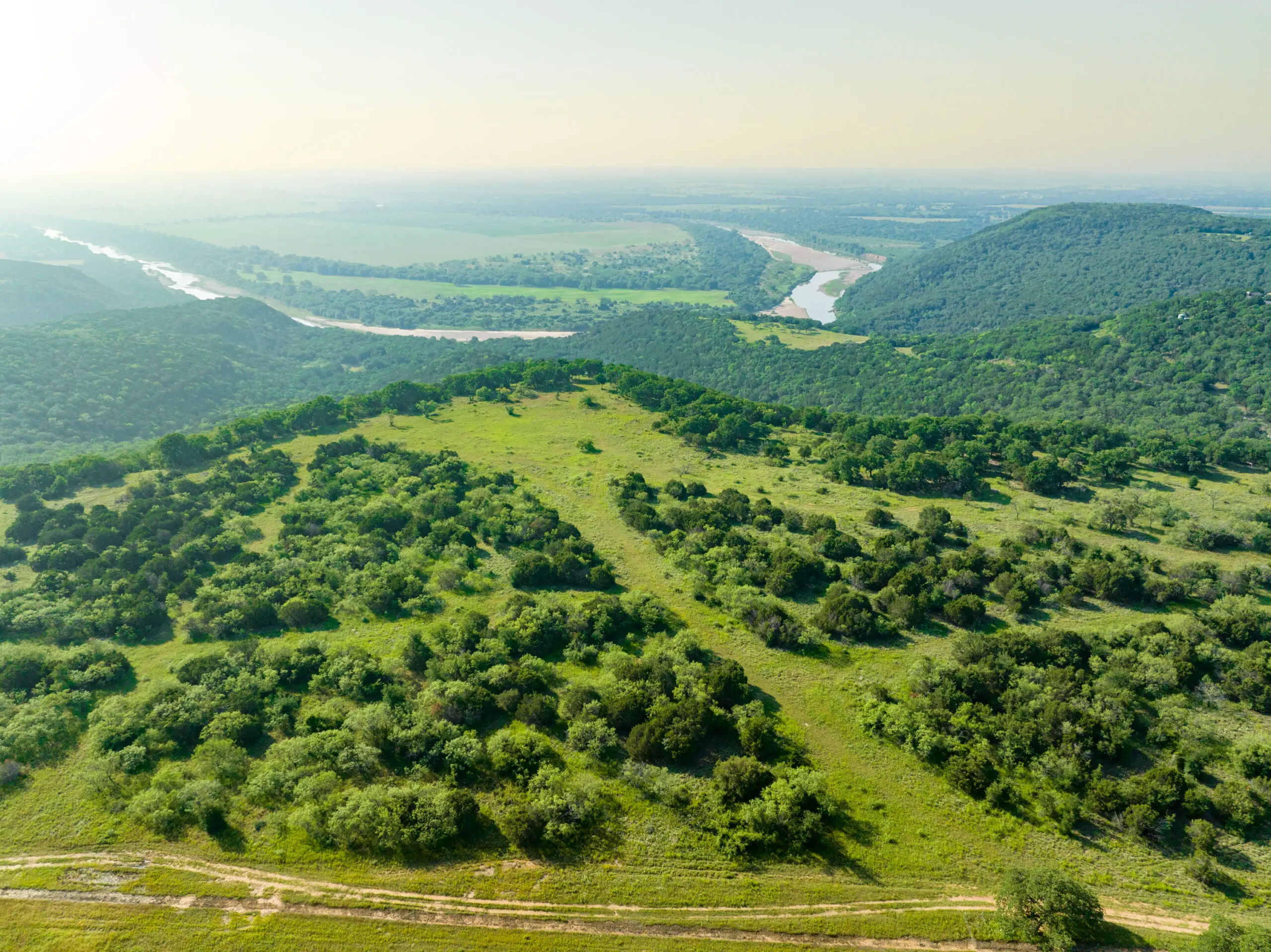
“..but if you go to the river (Brazos) at all…You tend not to be in a hurry there; you learned long since not to be.” – John Graves, Goodbye to a River: A Narrative. The Brazos River is a special place. Graves said it well many times over in his narrative of his journeys on the river as he recanted the many tales of Indians and settlers roaming the land in search of a way to provide for themselves and others in life. Few waterways in the state hold as much history, lore, beauty, and majesty. The opportunities to purchase land, on the river, specifically in Palo Pinto County, are becoming more and more rare. The Brazos River ranch is truly a unique opportunity. The ranch sits on the western side of the river as it makes its way around Village Bend, and holds views of Village Bend and the surrounding terrain of Palo Pinto County that are nearly irreplaceable. This property has an incredible mix of cover, high bluffs, excellent river access, and wonderful pastures for grazing. A ranch of this caliber is a once in a life time opportunity, and must be seen to truly appreciate the breathtaking awe that it holds.
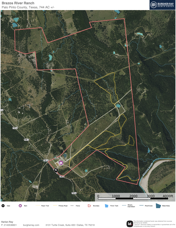
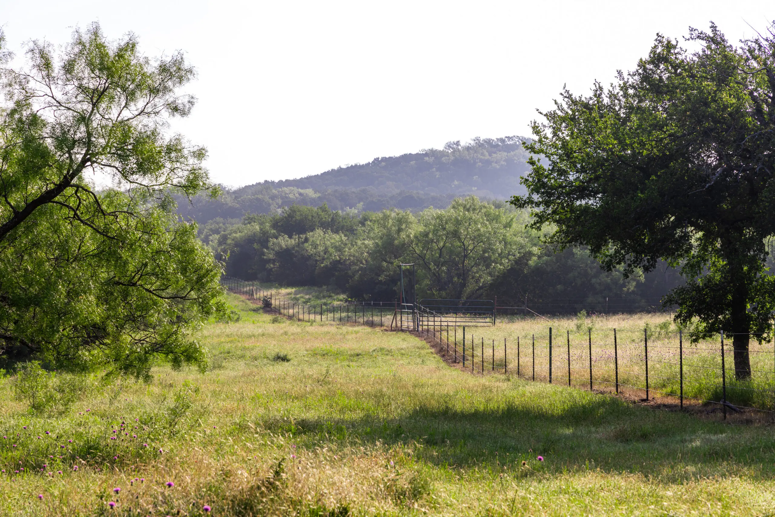
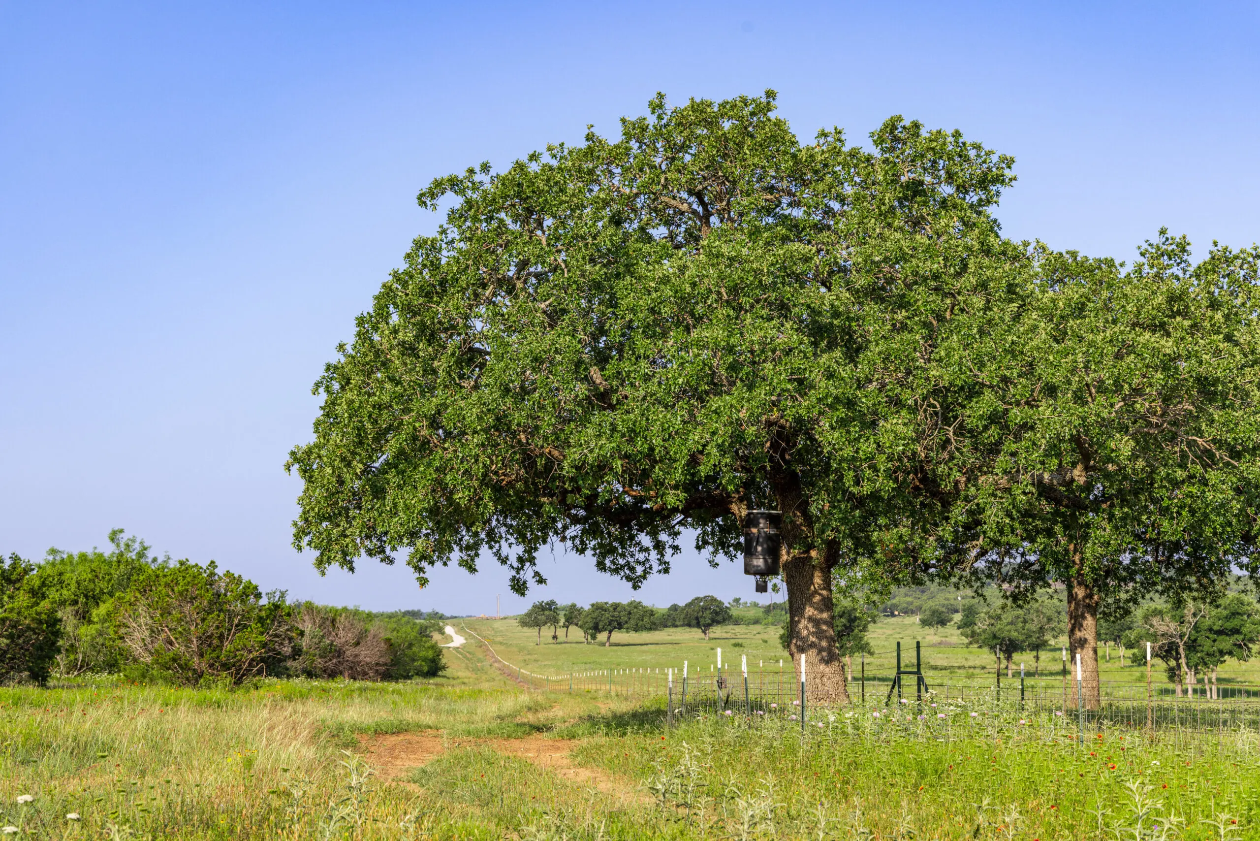
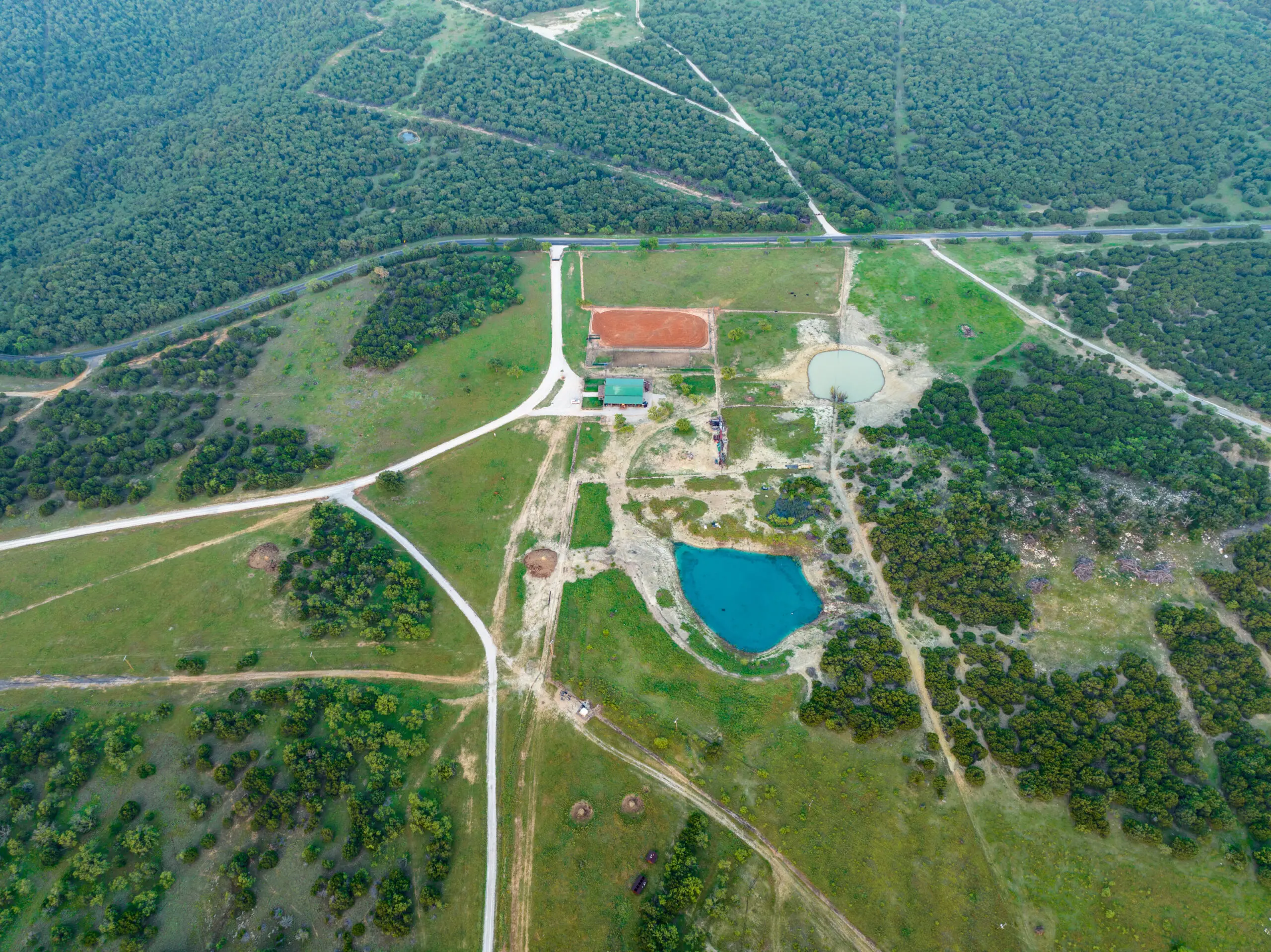
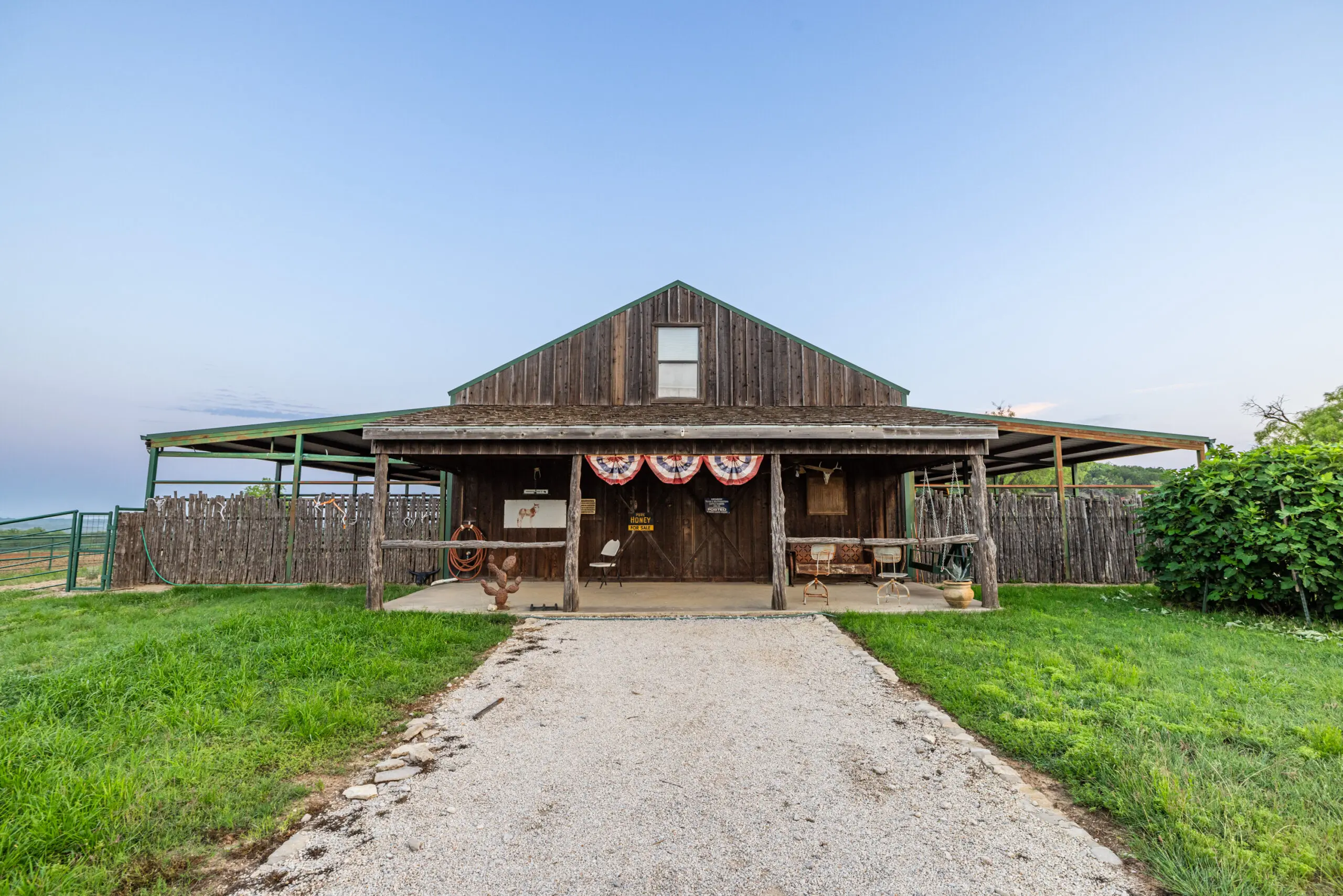
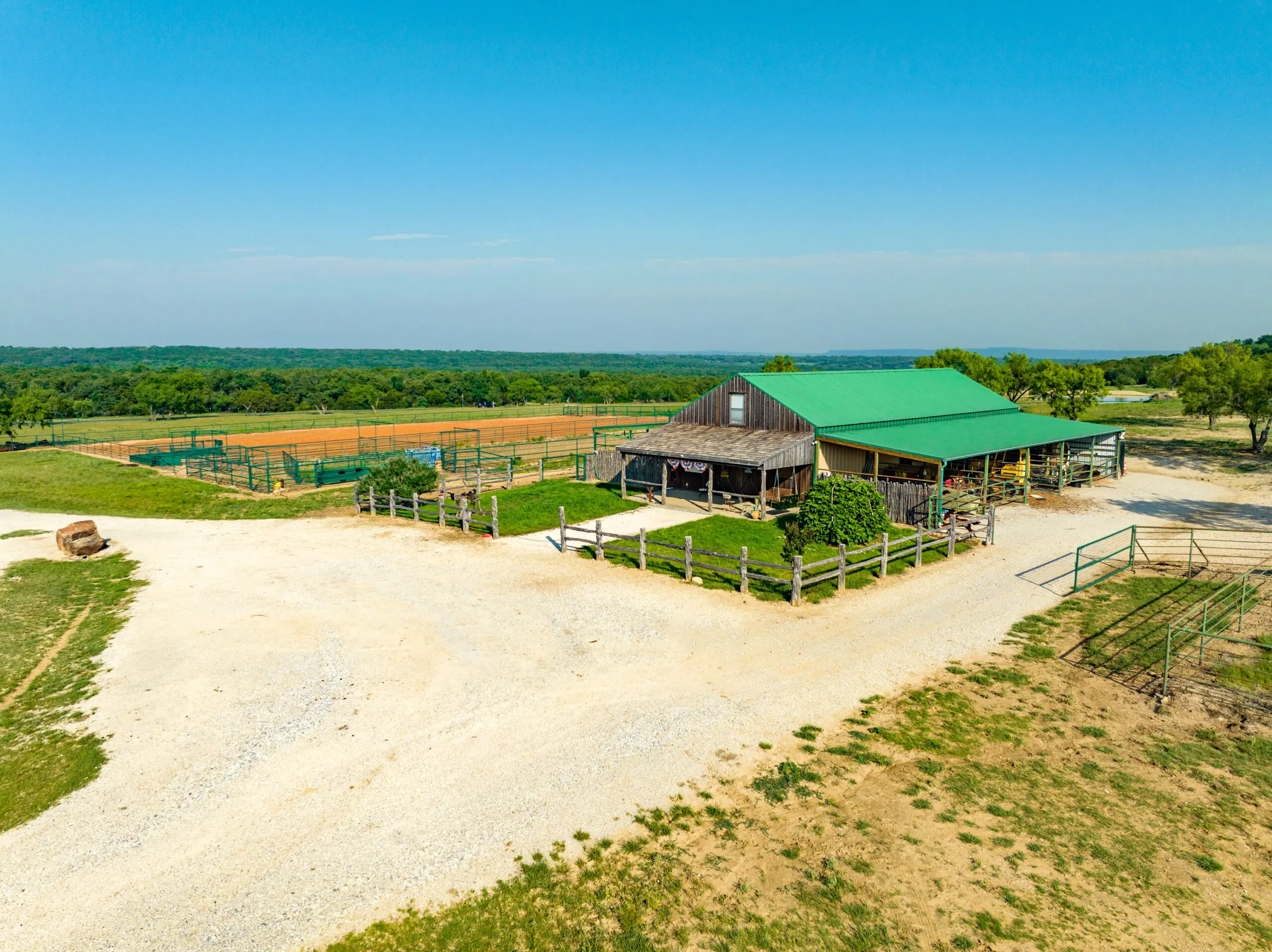
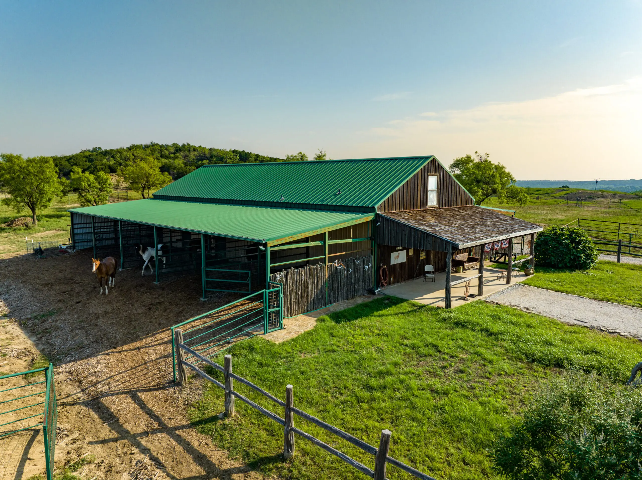
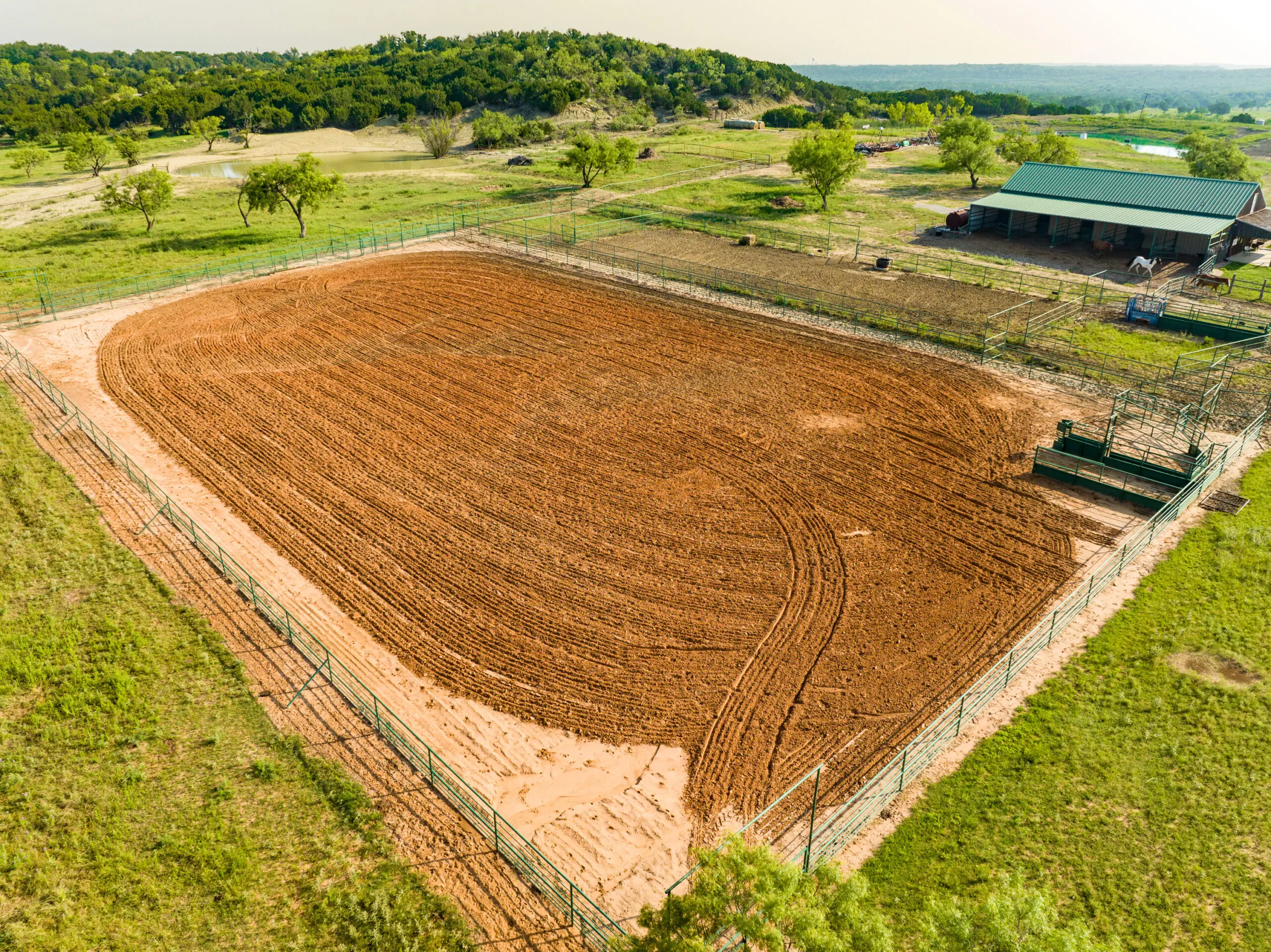
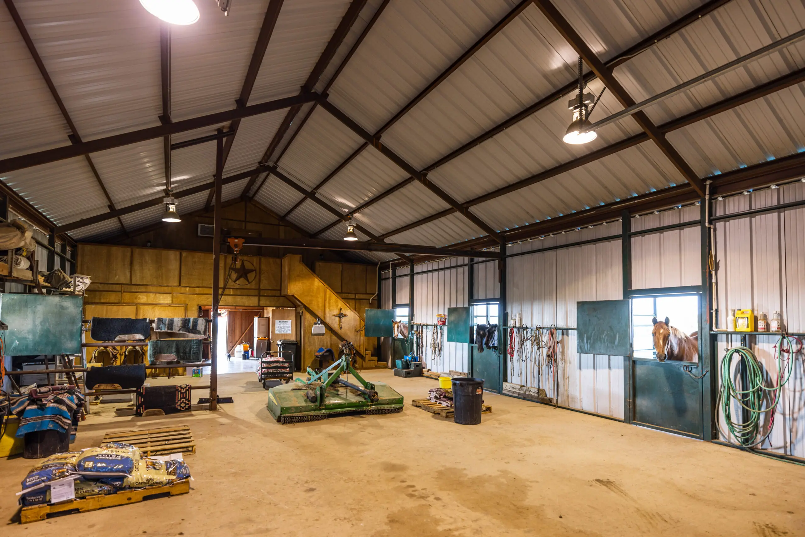
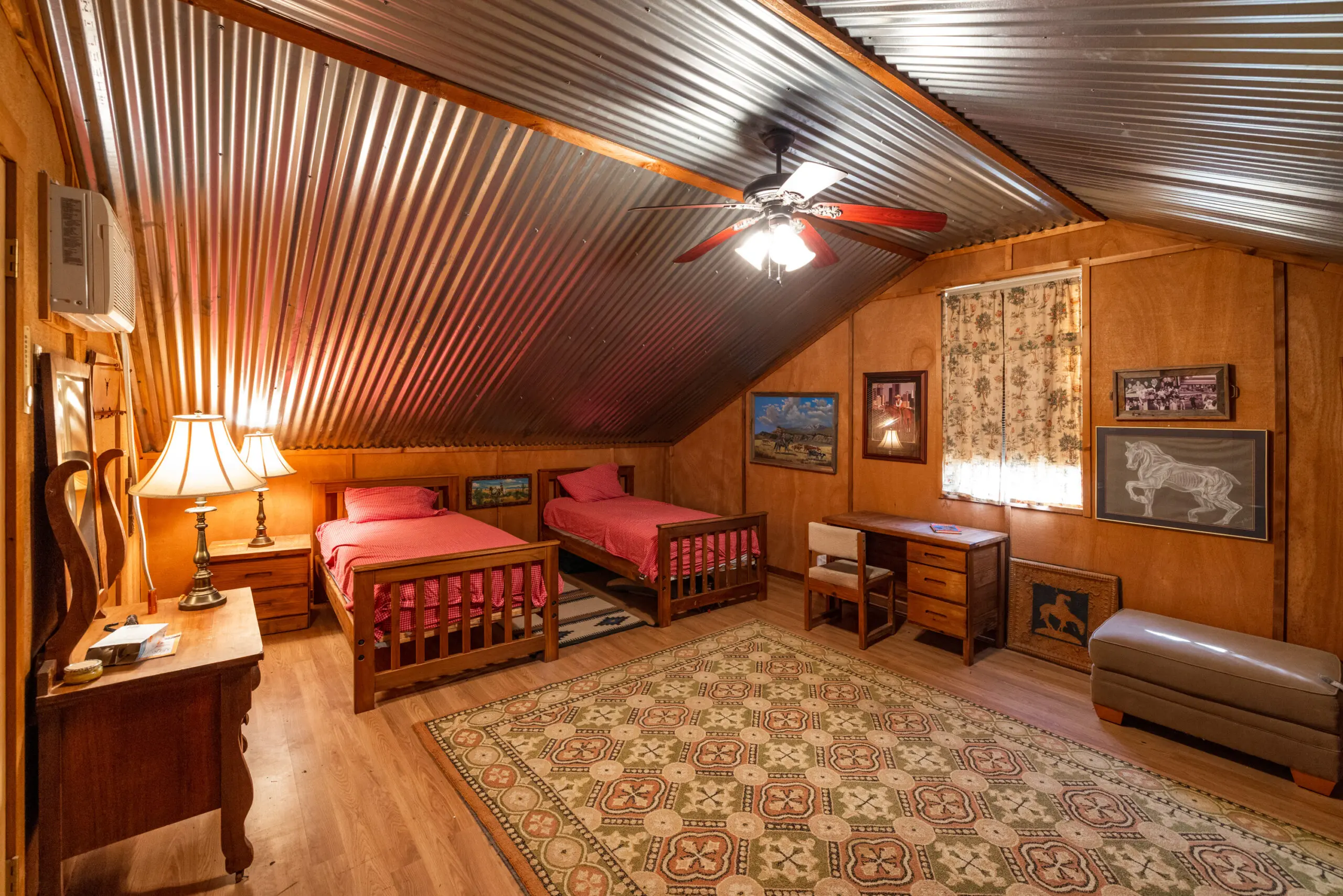
The ranch is currently fenced, with several different pastures in place for rotating livestock and grazing cattle. There is a 2,200 +/- SF fully enclosed barn with ample storage for equipment, a full bathroom, and a living quarters upstairs. The barn has overhangs on 3 sides, one being a porch, one being used for equipment storage, and the third being used for horse runs between the barn and the arena. The arena is roughly 140 ft x 240 ft and is currently set up with a return alley, catch pens, and roping chutes. Adjacent to the arena, is a smaller pen for working cattle and livestock.
The ranch is located in the heart of Palo Pinto County, just south of the town of Palo Pinto, TX and a few miles north of Santo, TX. With access and frontage on scenic HWY 4, the ranch is extremely easy to get to from many parts of the county.
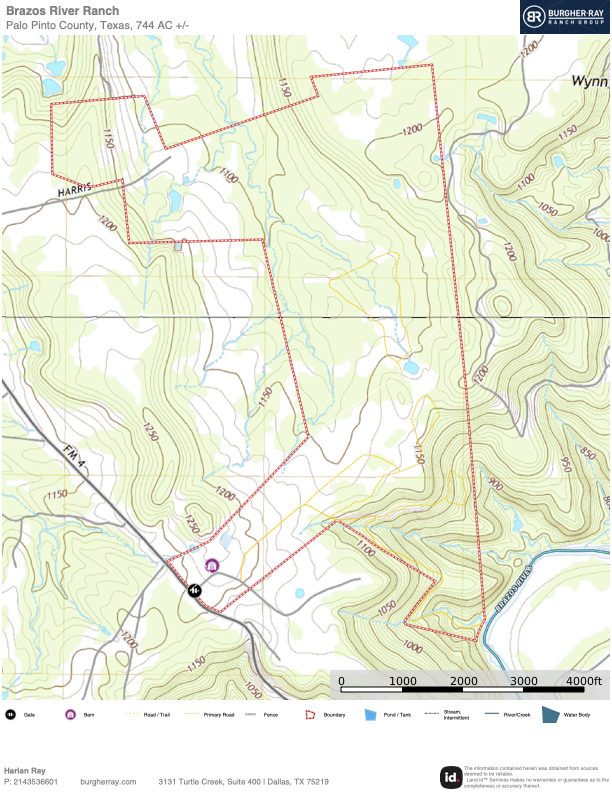
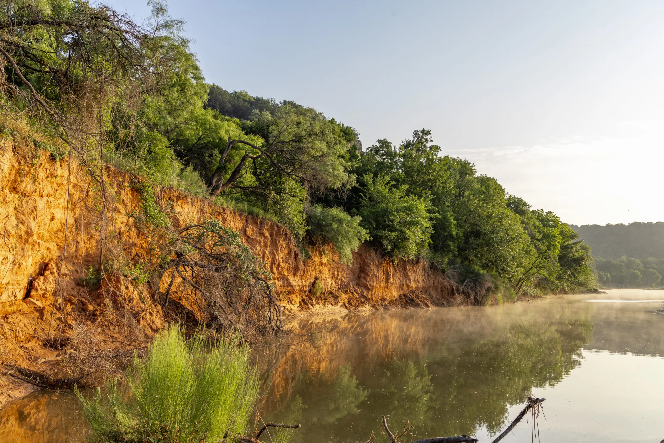
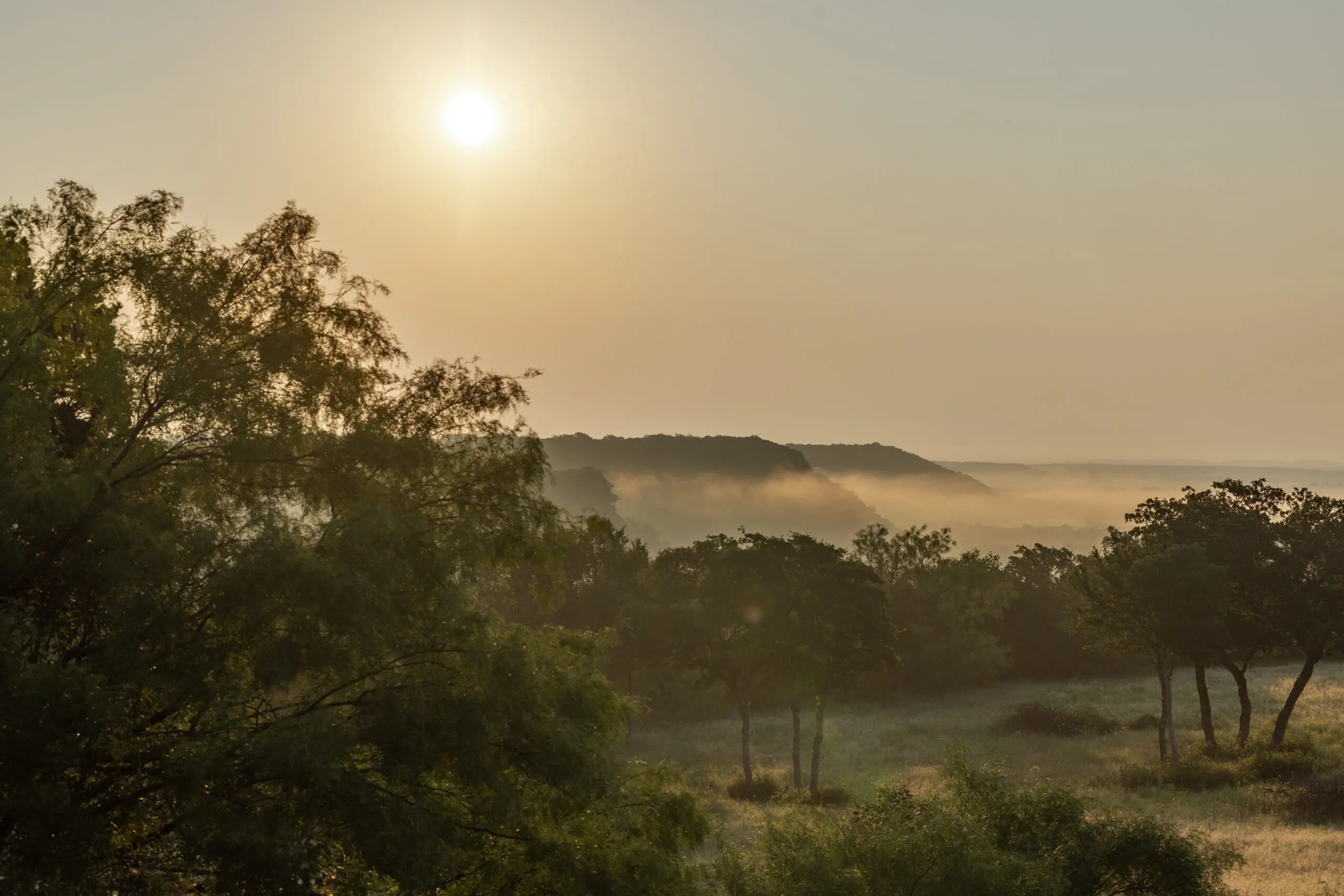
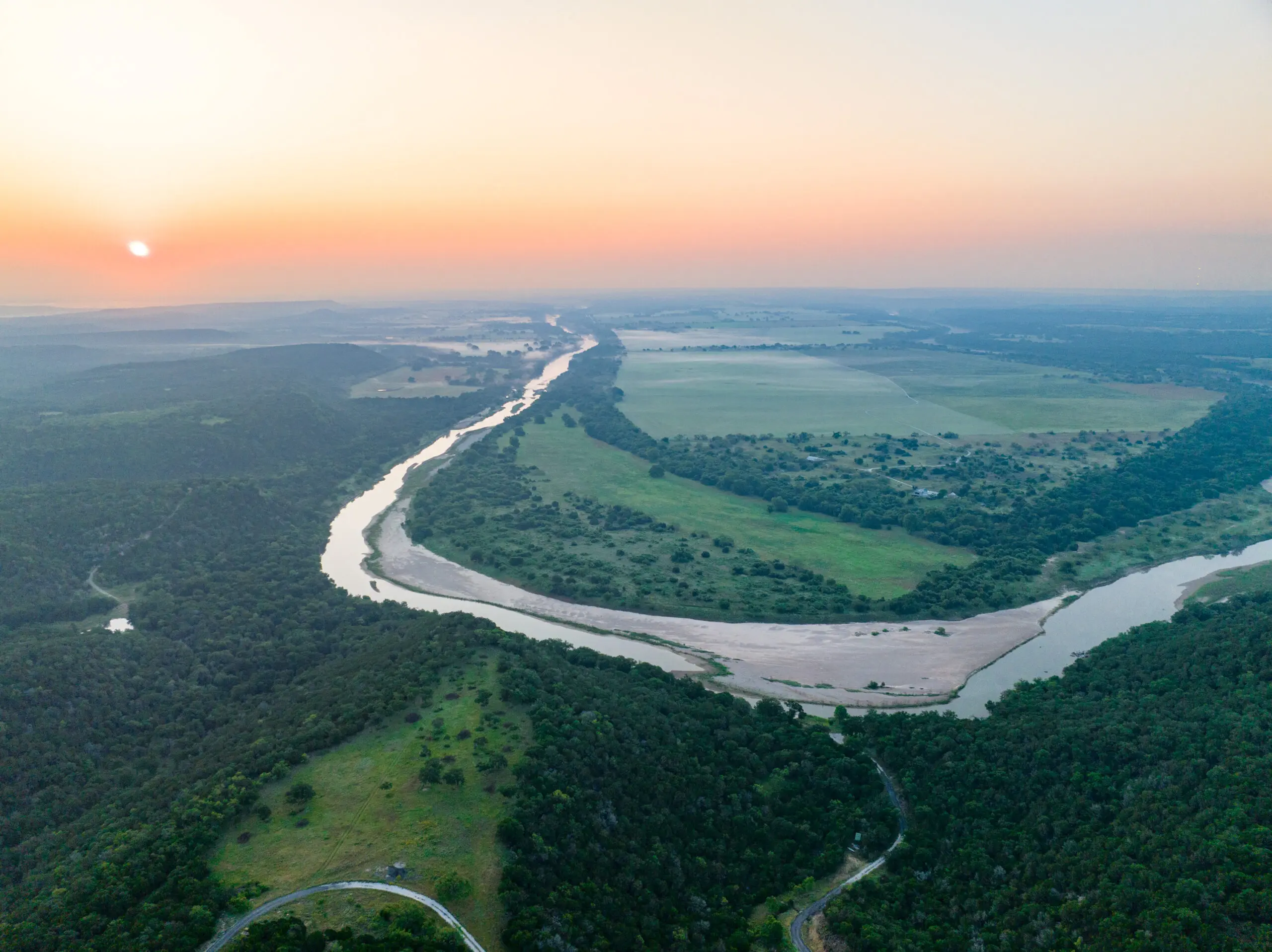
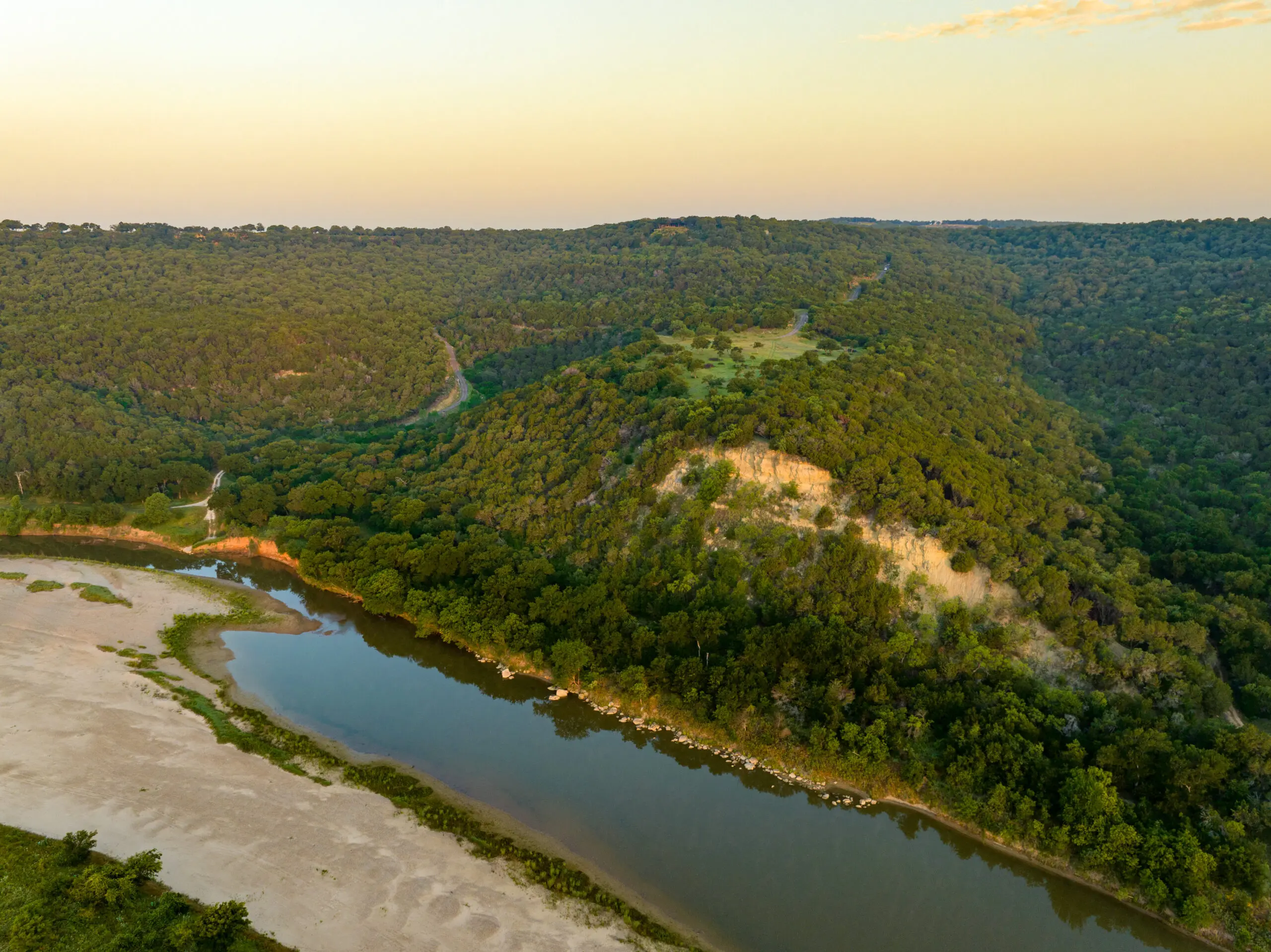
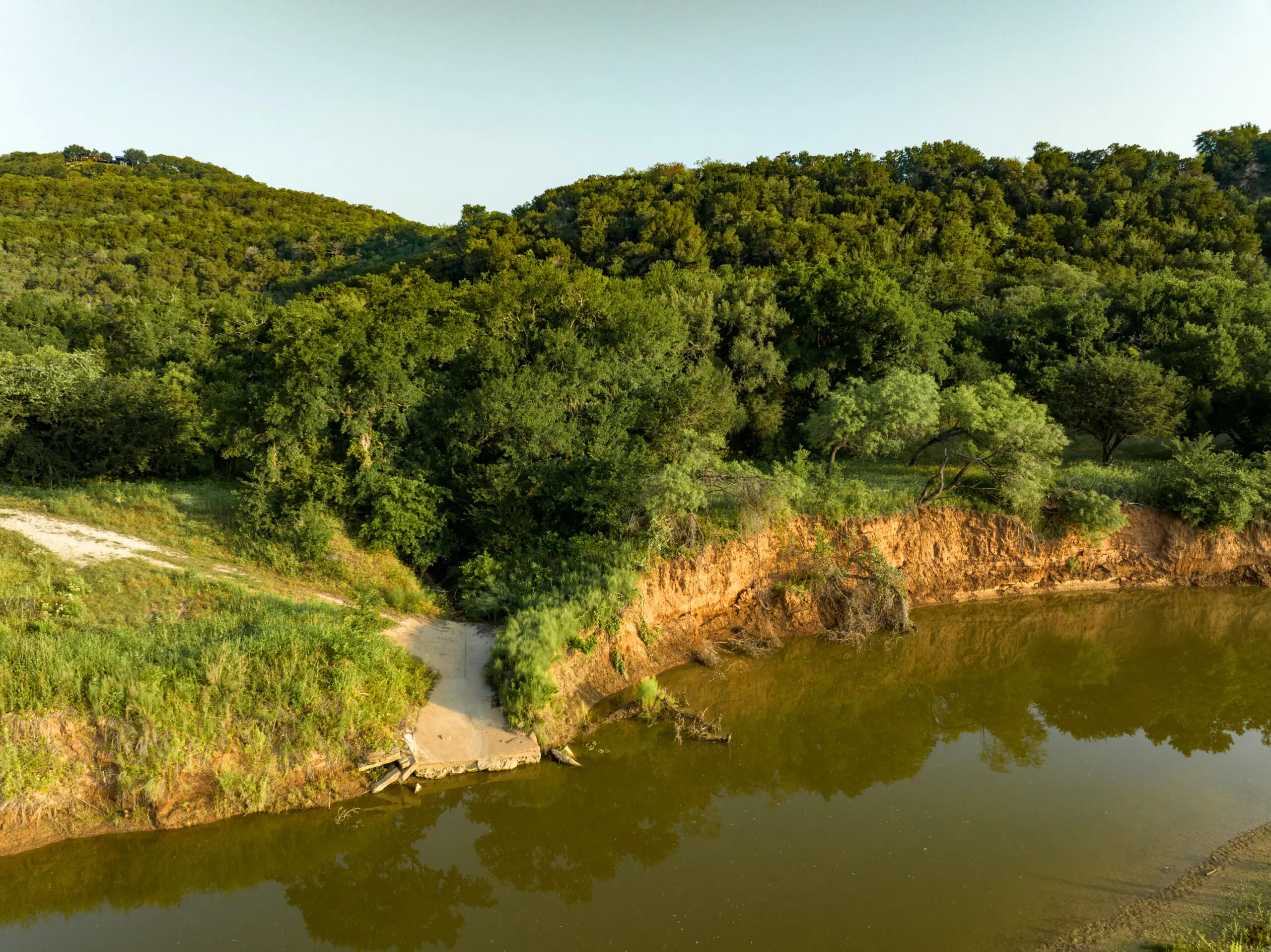
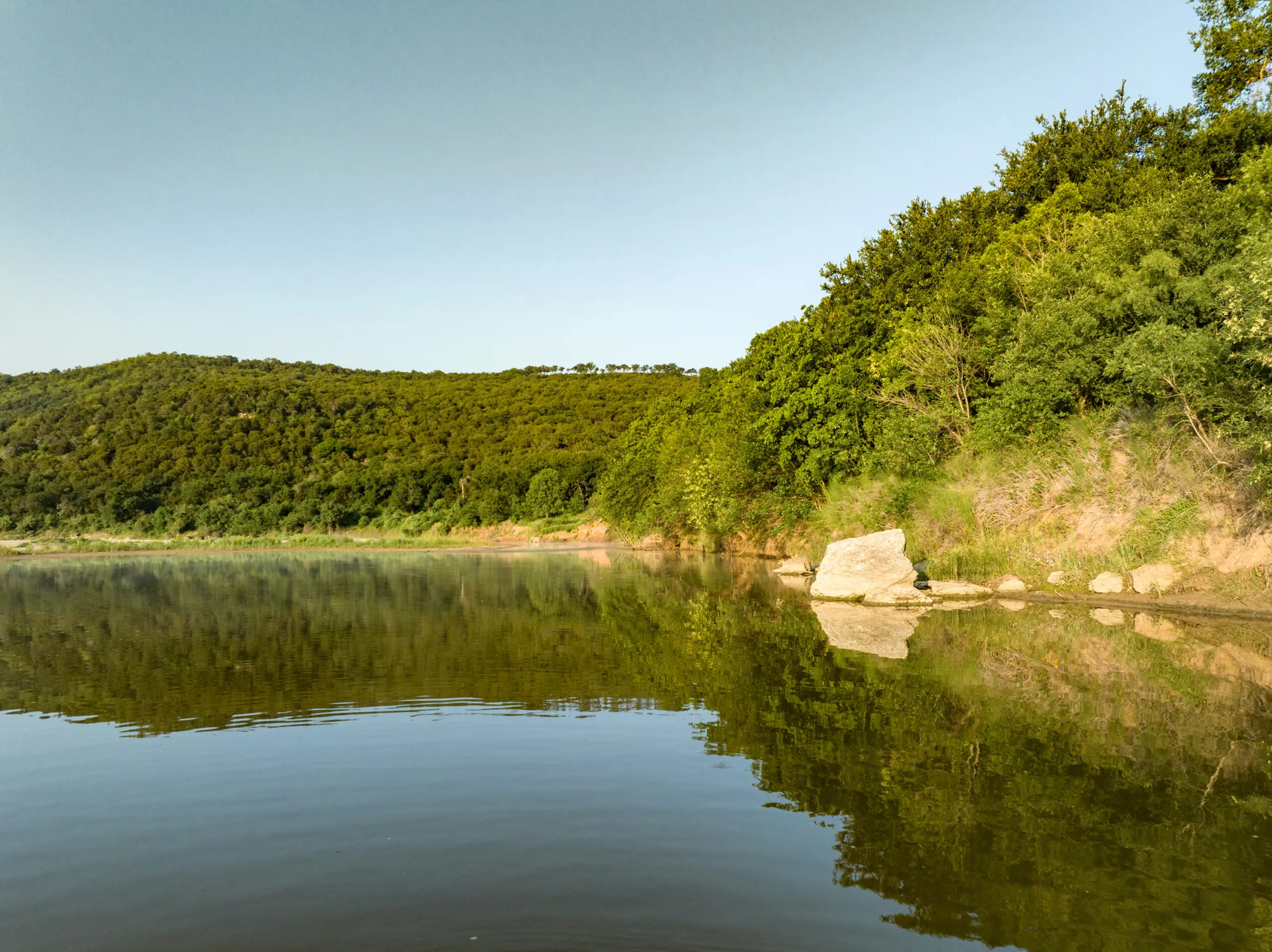
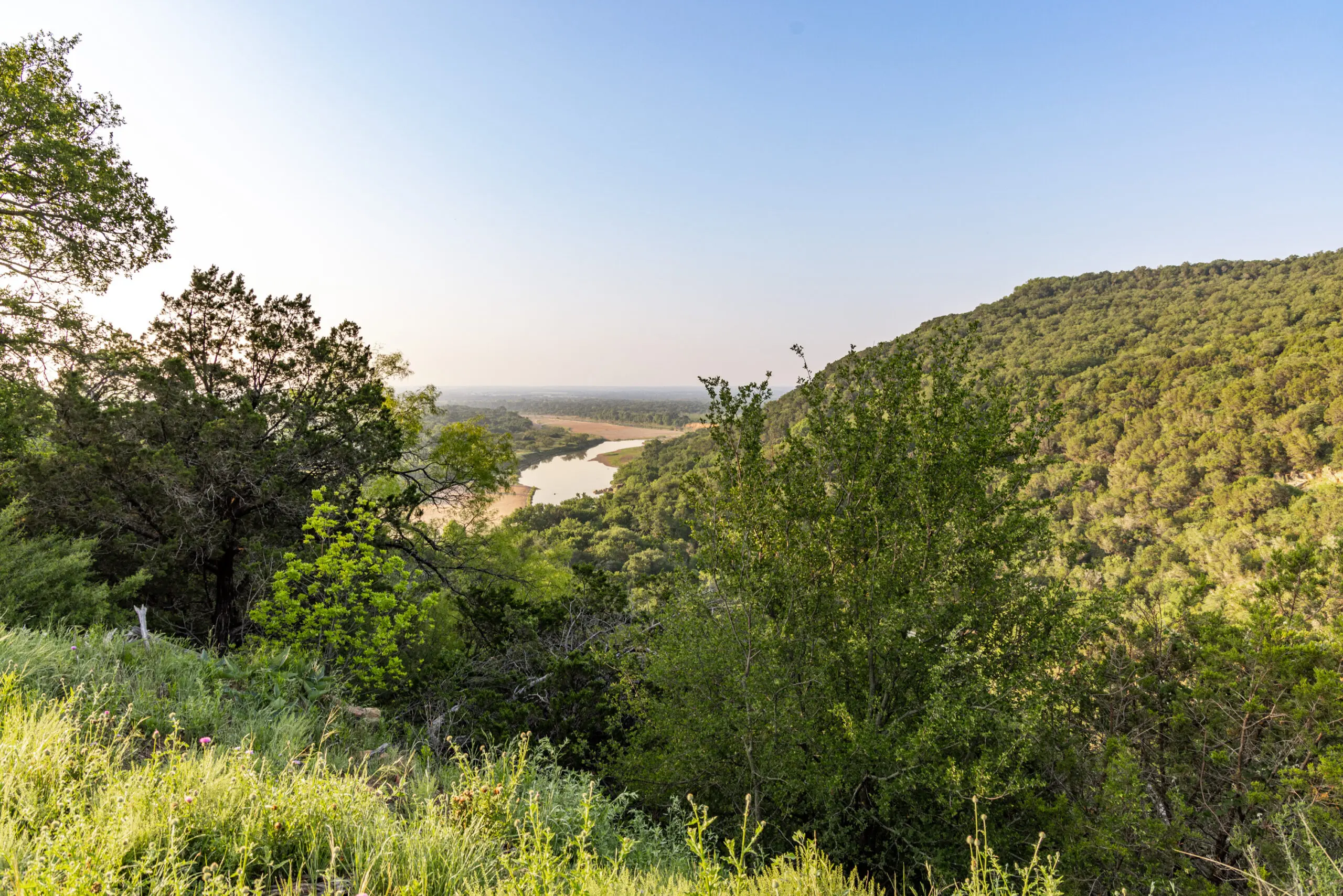
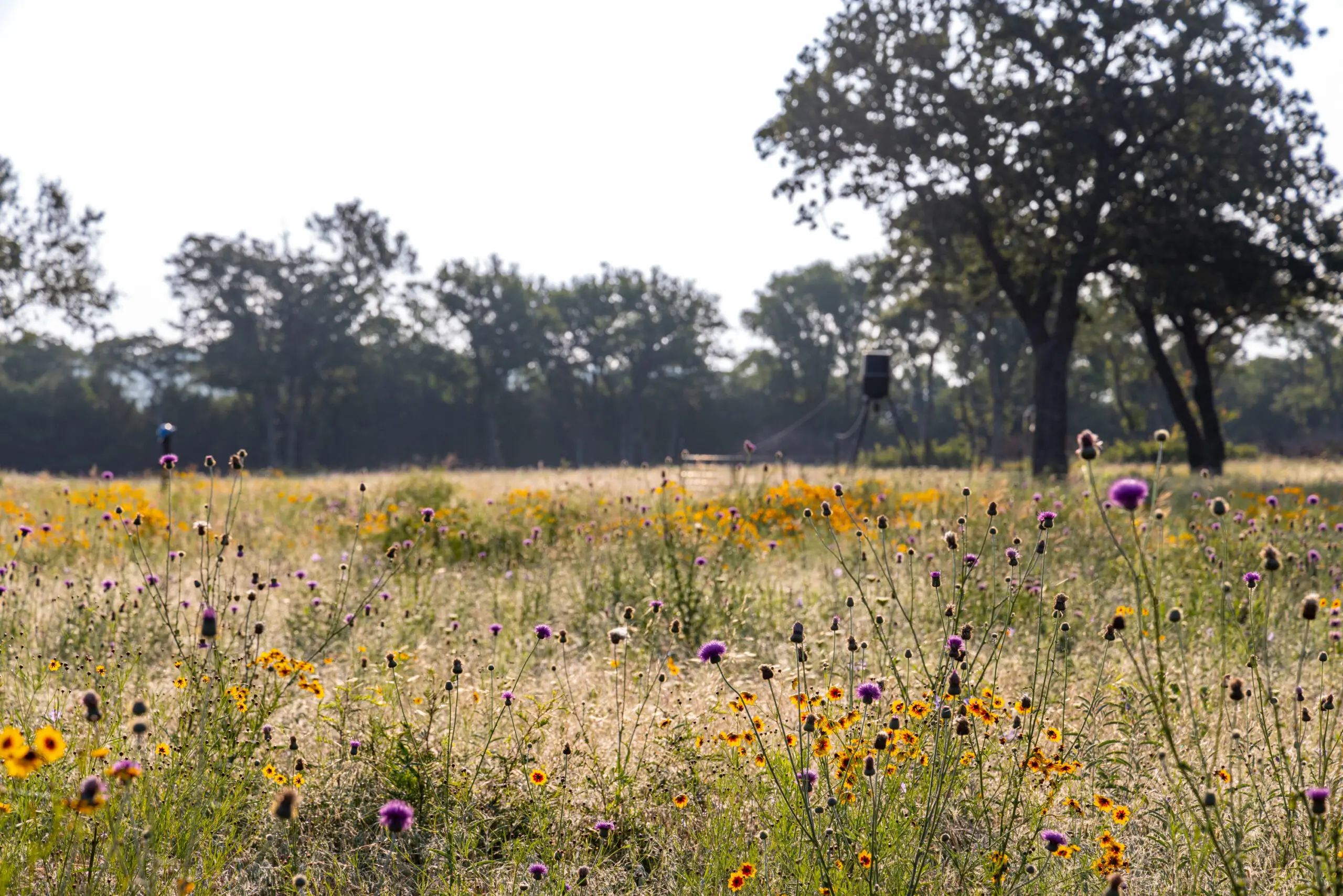
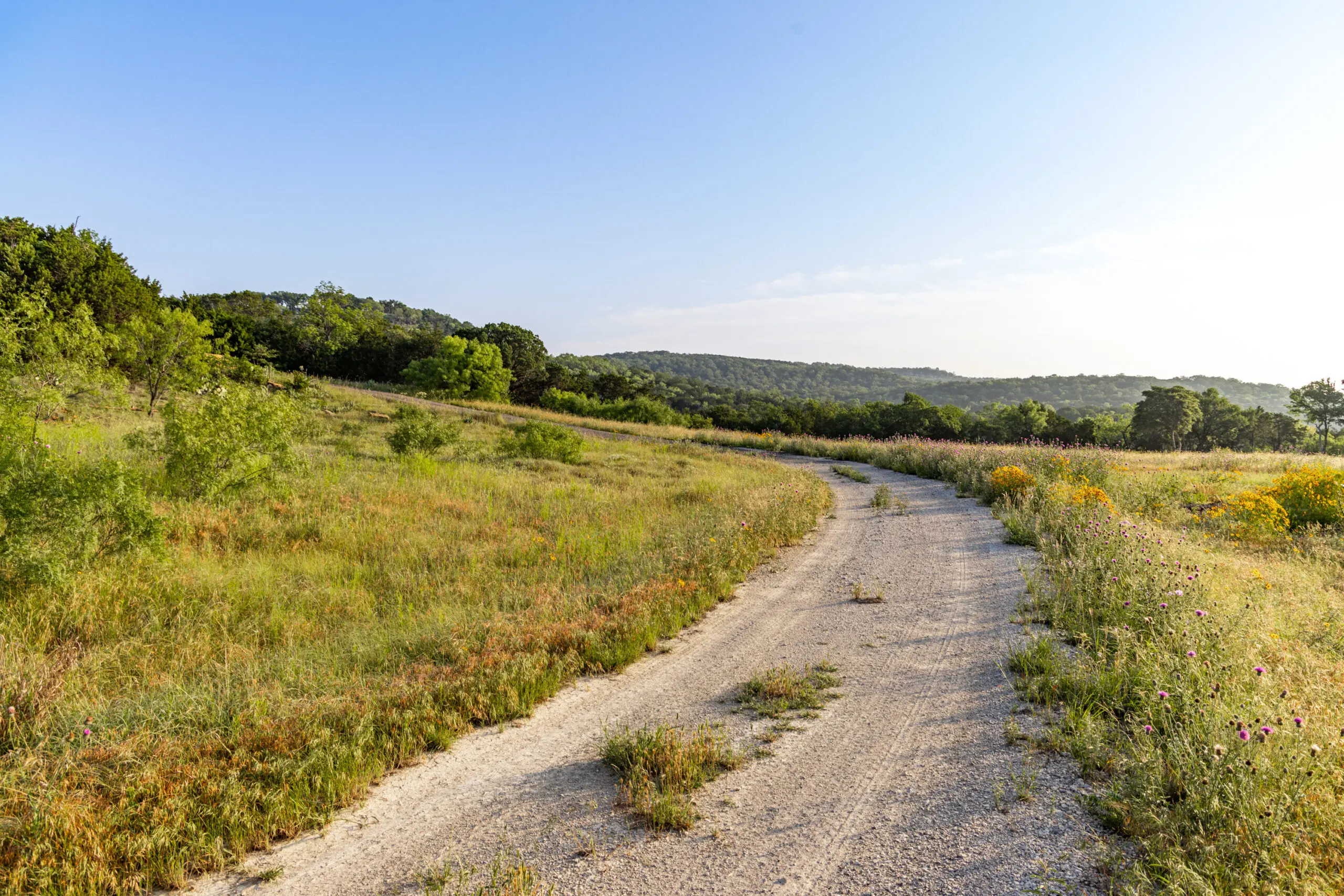
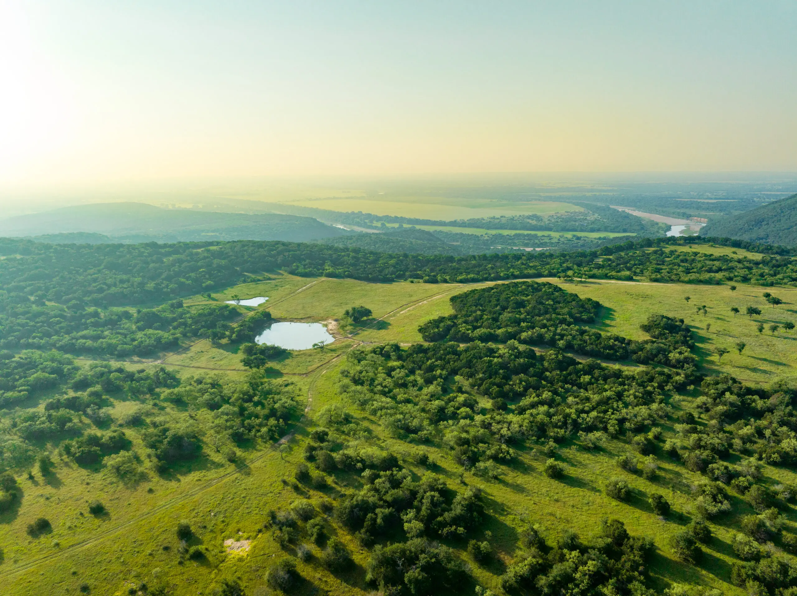
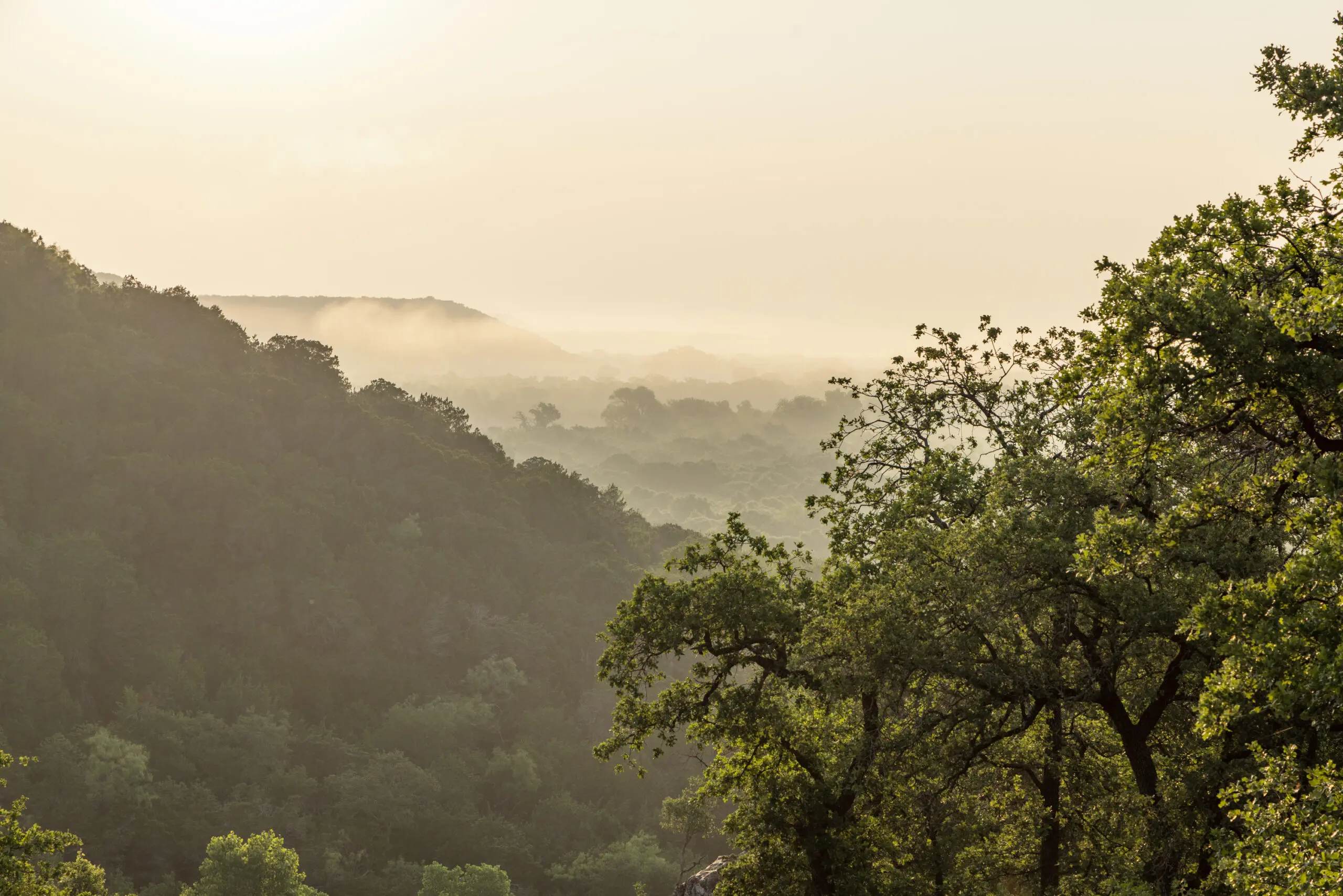
The land that sits along the banks of the Brazos River is something that must be witnessed. Few waterways in this part of the state have the diverse views of fertile bottom land, high rocky river bluffs, sandy banks, and lush plateaus on hill tops. Located in the Cross-Timbers Eco Region of the state, the property has a wonderful mix of native vegetation for grazing and wildlife, as well as a variety of tree species such as post oak, live oak, red oak, elm, cedar elm, mesquite and juniper.
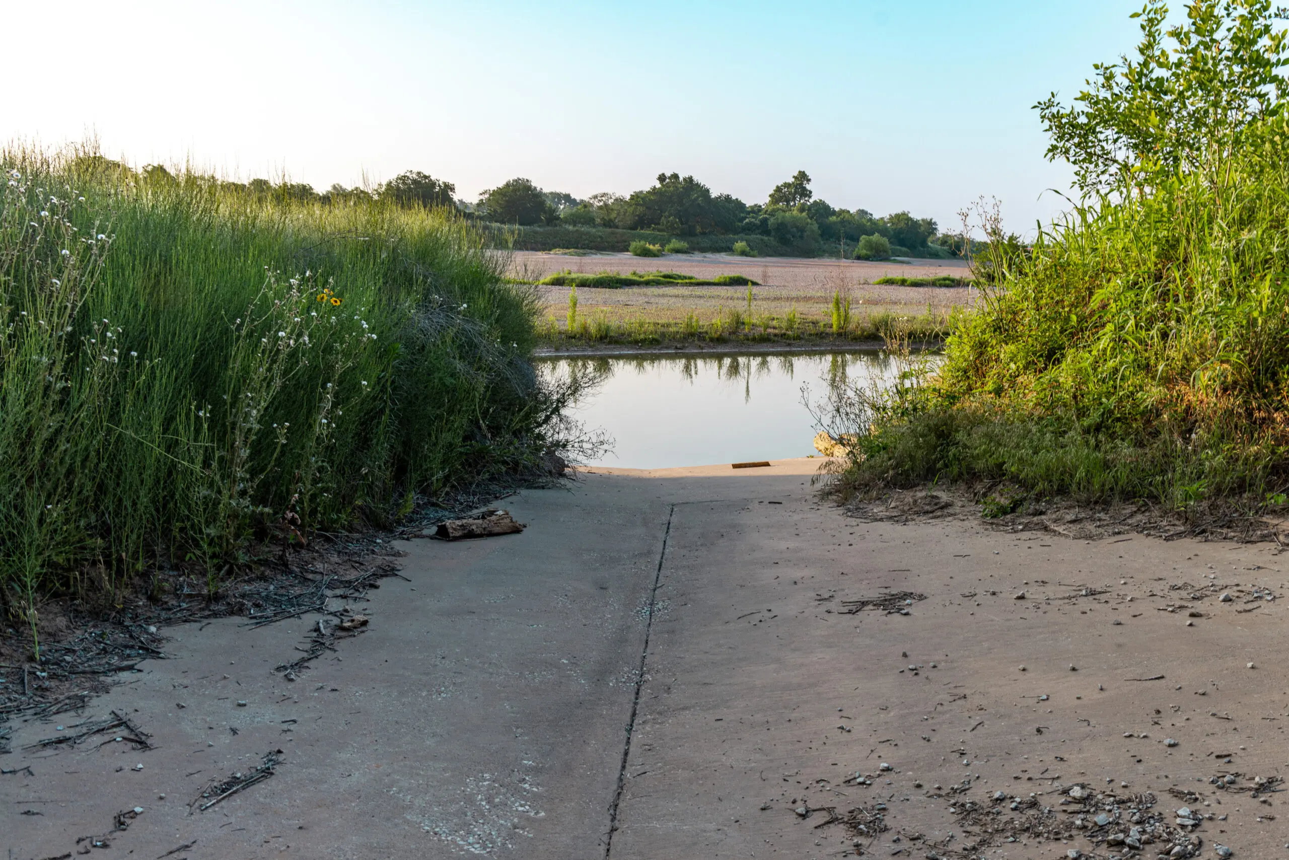
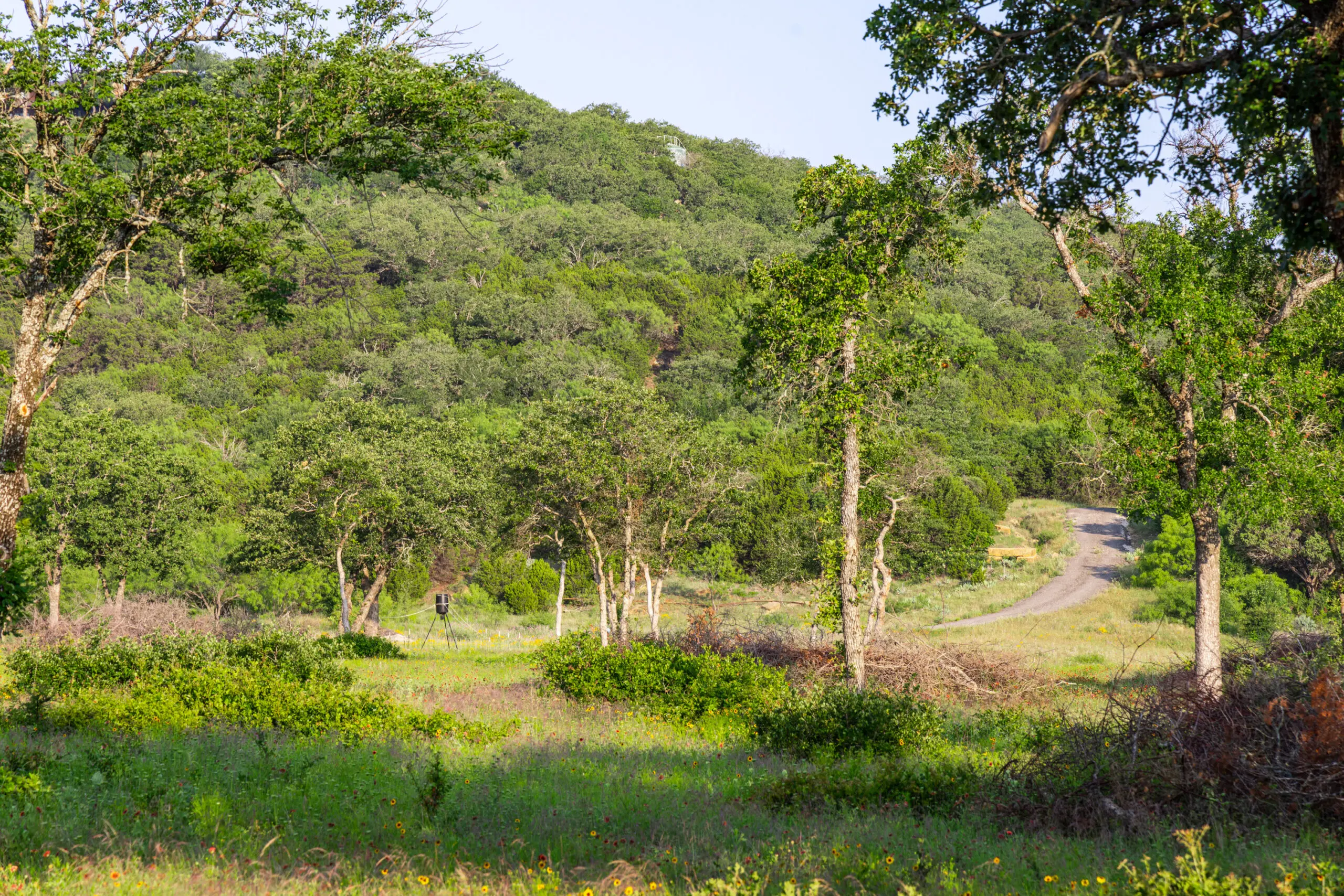
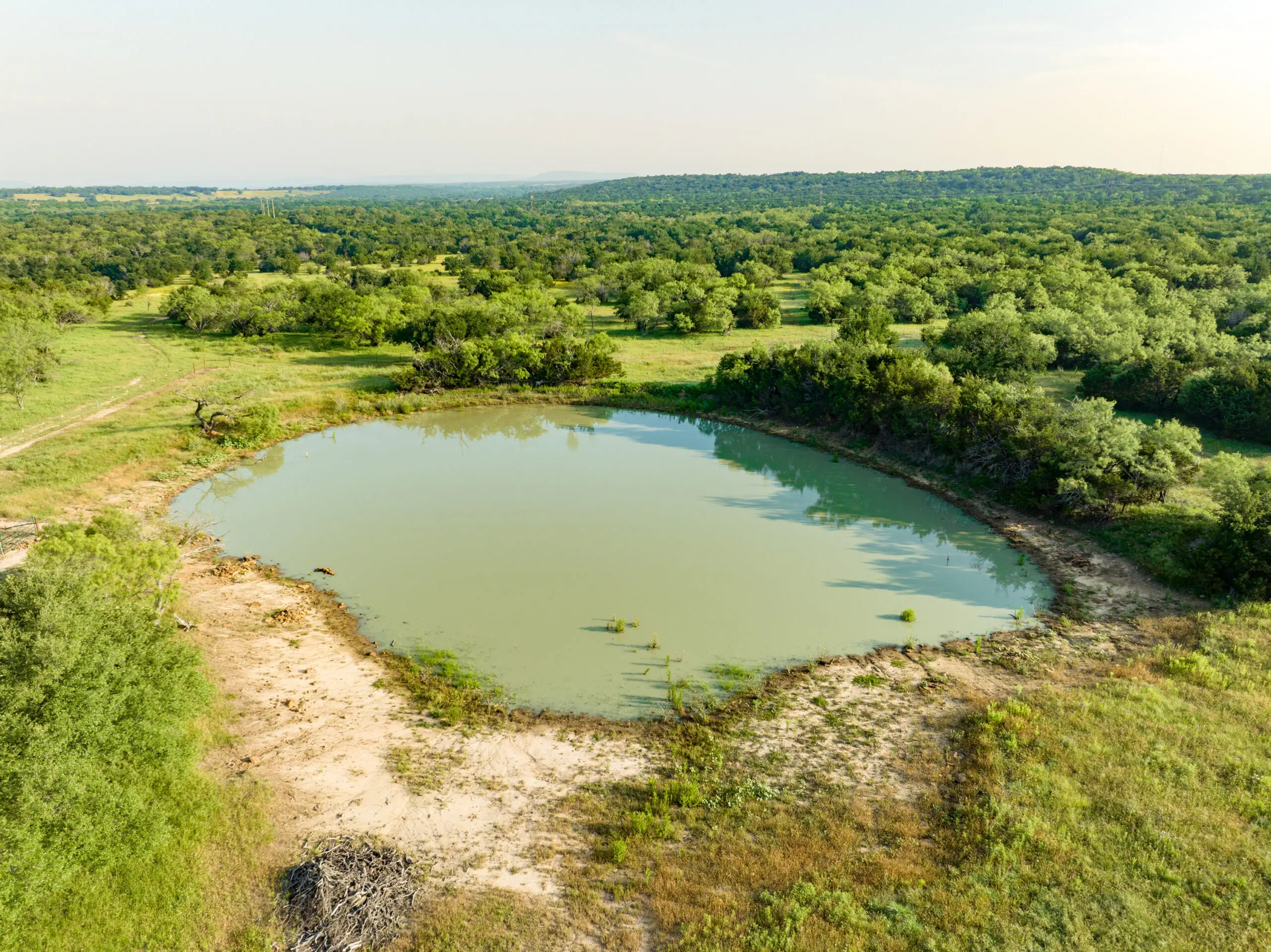
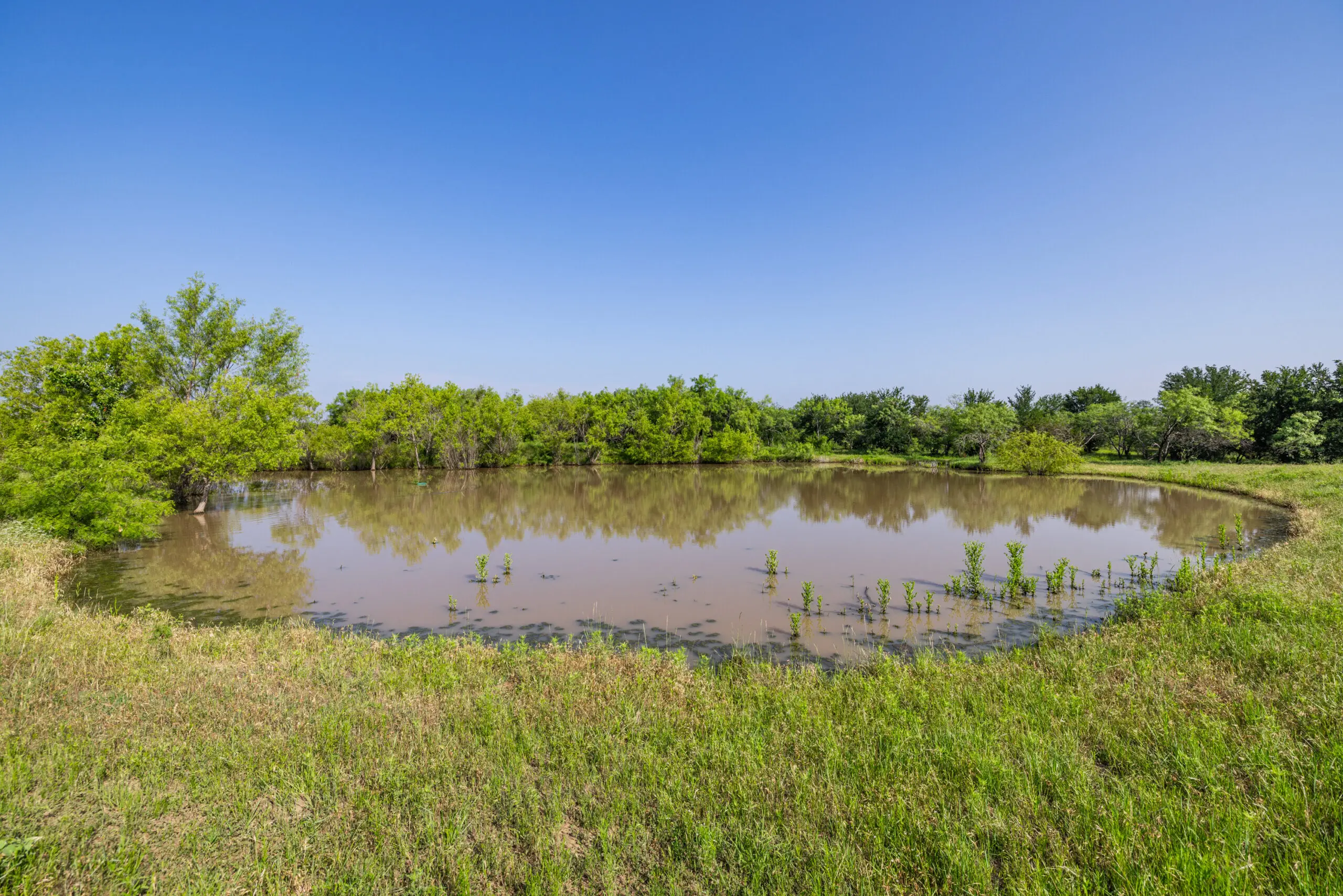
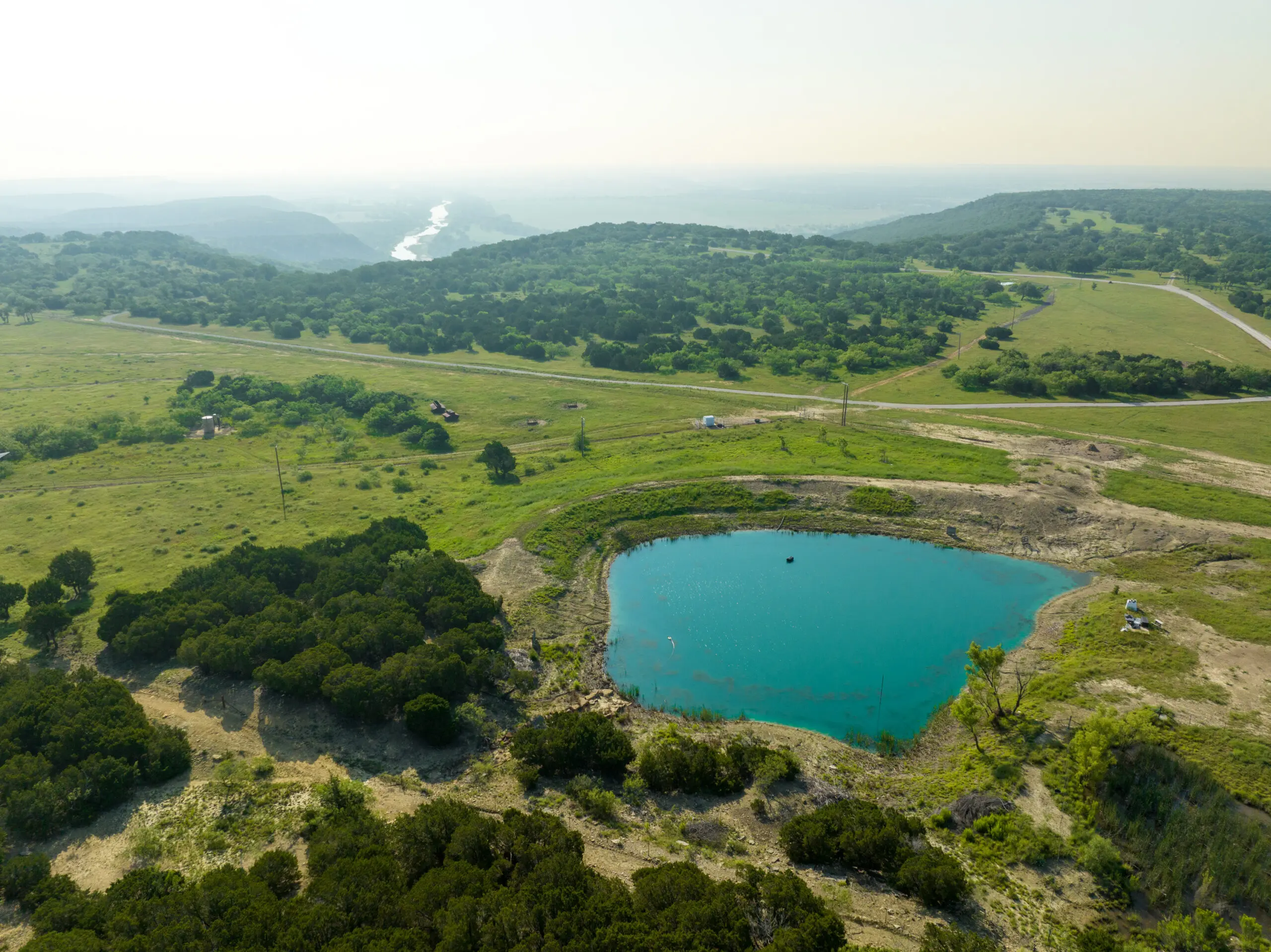
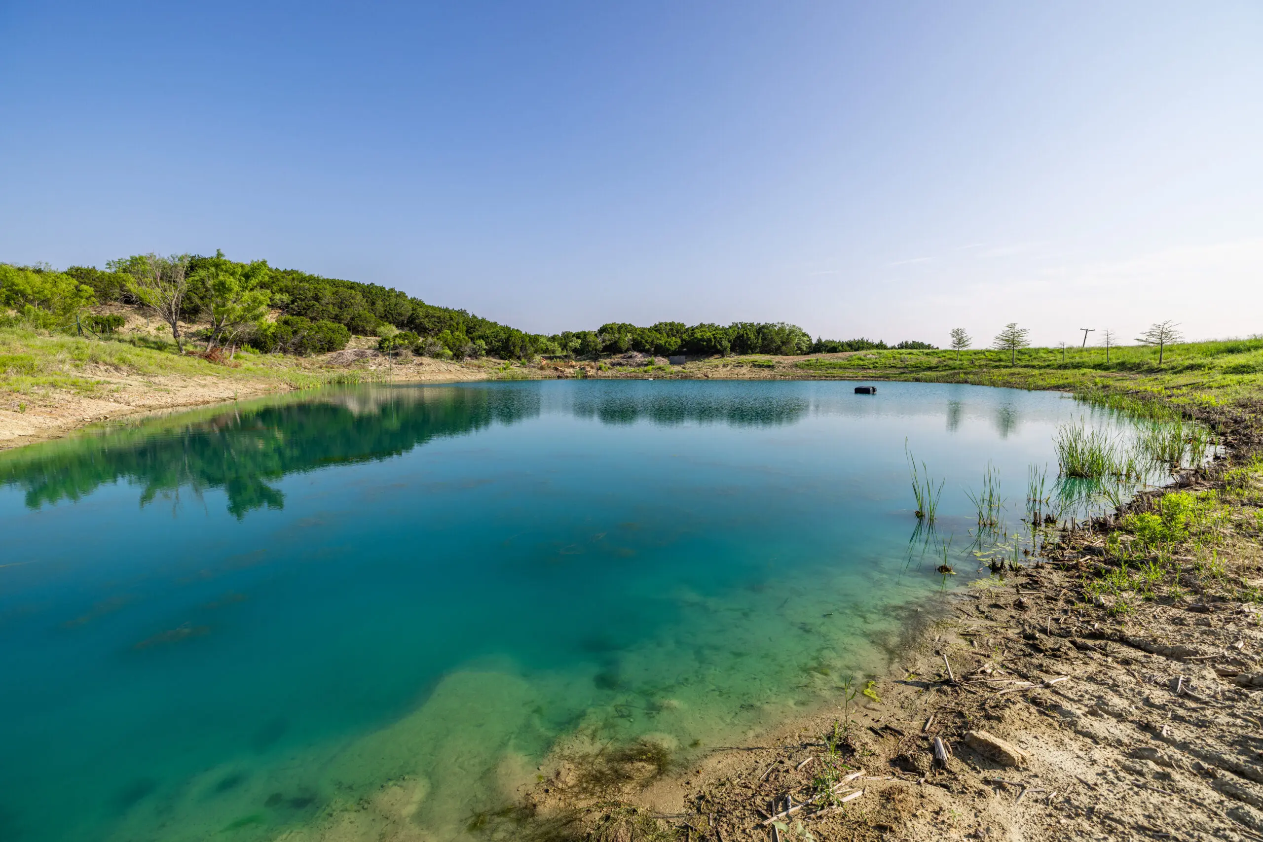
Situated in the John Graves Scenic Water Way, The mighty Brazos river is without a doubt the main water feature of the ranch. The river is very accessible from the property via a well built road coming from the high bluffs all the way down to the river. Water is provided to the ranch improvements through a water collection system at the barn. Please discuss with listing brokers for more information on this process. There are stock tanks in several locations throughout the ranch for watering livestock.
The breathtaking views on the ranch overlooking the river, come from the diversity of terrain and habitat. The highest point on the ranch is approximately 1,210 +/- feet above sea level in the far northwest corner of the property, the high bluffs over the river sit at approximately 1,130 +/- feet above sea level, and the lowest point on the property is approximately 790 +/- feet above sea level along the banks of the Brazos River. Soil types on the property include Shatruce gravelly sandy loam, Bonti-Exray complex, and some Set clay.
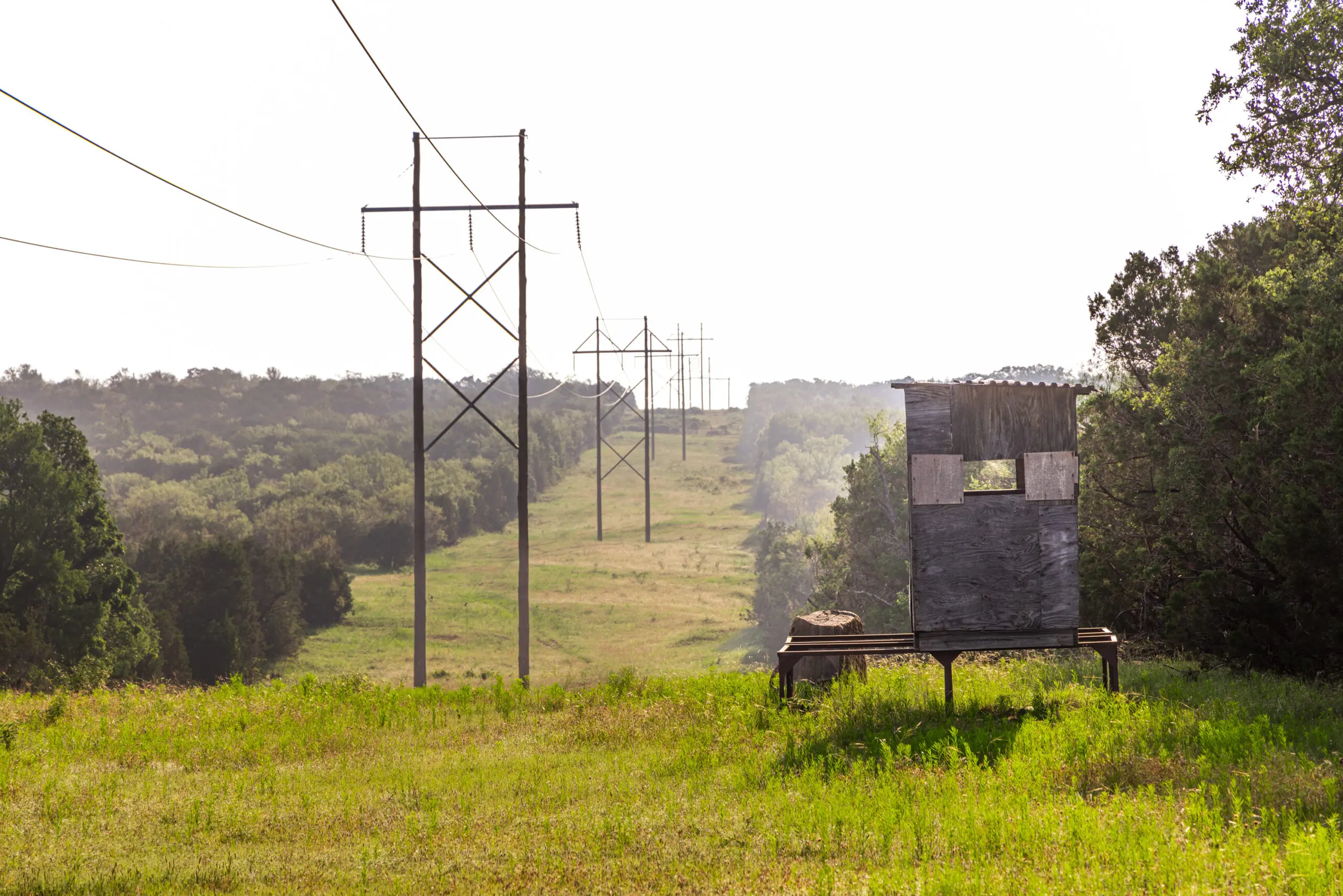
The ranch is well suited for endless recreational possibilities and hunting. Enjoy sitting in a deer blind with your kids or grandkids and watch the world come to life as the sun rises. Take a canoe down to the river and enjoy hours of rowing around in the Brazos river while fishing and having some fellowship with friends a family.
Consult listing broker for more information on the minerals.
Are you interested in this property? Let us know by filling out the form below and we will connect with you promptly.
Click or tap a photo to enlarge.
This ranch is being offered For Sale and is Exclusively Listed by Harlan Ray & David Burgher of Briggs Freeman Sotheby’s International Realty.
Buyer’s brokers must be identified on first contact, and must accompany buying prospect on first showing to be allowed full fee participation. If this condition is not met, fee participation will be at sole discretion of the Listing Broker. Prospects may be required to provide proof of funds prior to scheduling a showing.